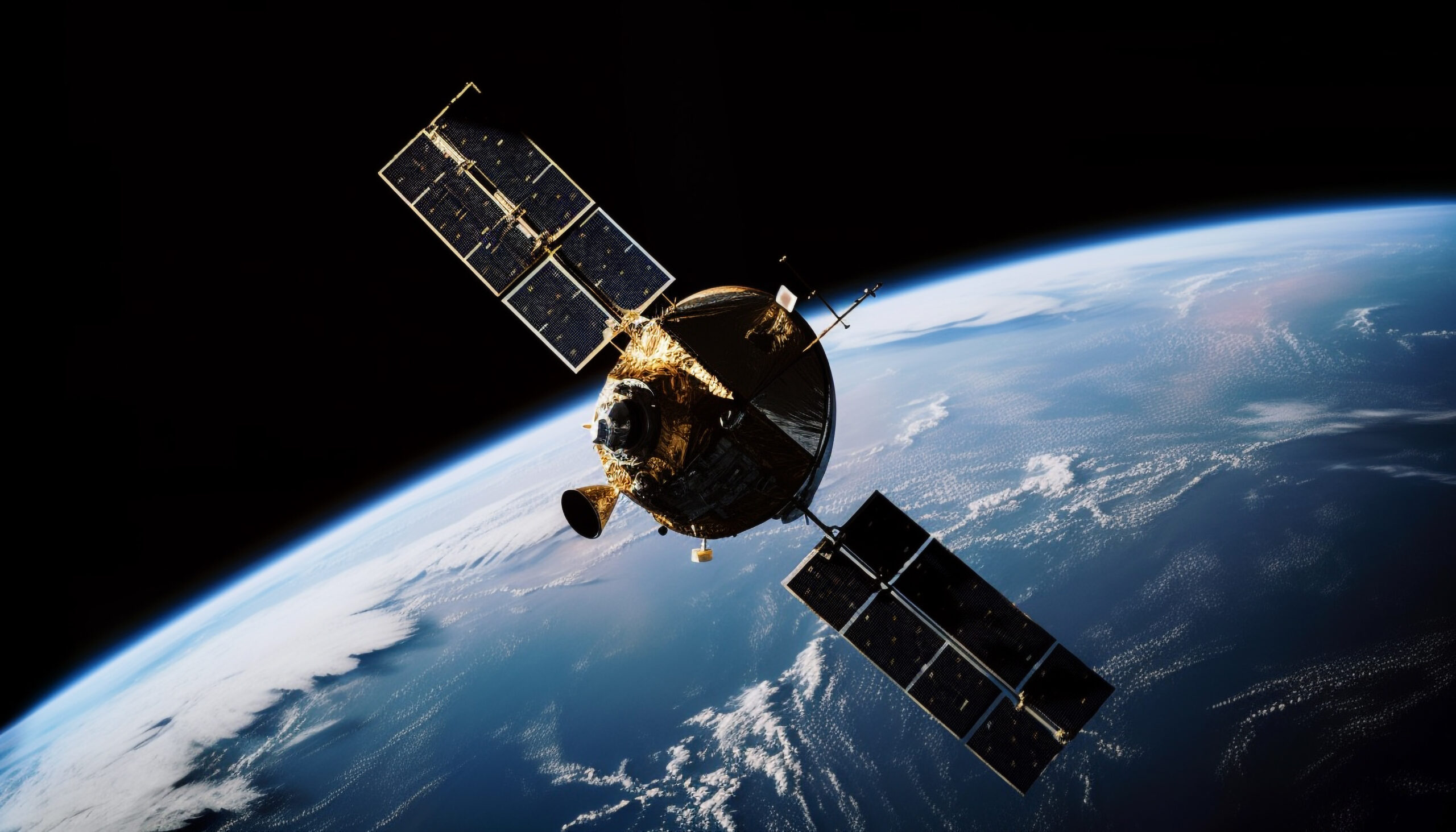
Development of an advanced system for recognition and analysis of satellite and aerial imagery, using artificial intelligence algorithms.
Challenge
In response to accelerating climate change and the growing need for sustainable crop management — as well as the need to better protect cultural heritage — Alioth Space, in collaboration with TUATARA and the Warsaw University of Technology, has taken on the challenge of developing an advanced system for the recognition and analysis of satellite and aerial imagery using artificial intelligence algorithms.
This pioneering tool is designed to support the transformation and digitalization of agriculture, combining highly efficient natural production management with environmental responsibility. At the same time, by supporting archaeological research, the project aims to enhance understanding and public awareness of history.The innovation lies in the integration of two seemingly distant fields — agriculture and archaeology — within a single, technologically advanced system.
About the project
The project titled “A system for the recognition and analysis of satellite and aerial imagery for agricultural and archaeological purposes” is co-financed by the National Centre for Research and Development (NCBR) under the INFOSTRATEG program.This groundbreaking initiative combines advanced technologies — such as artificial intelligence and machine learning algorithms — with the analysis of data from diverse sources, including satellites, drones, and aircraft.
As part of the initiative, a prototype of an online platform will be developed to enable the visualization and tracking of both current and historical crop data.The system will be used to monitor key crops in Poland, such as rapeseed, corn, wheat, and triticale.With access to aggregated data, farmers will gain comprehensive insights into crop health, forecast yields, choose optimal fertilizers, and respond rapidly in crisis situations.The tool will also allow for the prediction of plant disease and pest risks by analyzing weather conditions, satellite imagery, and other risk factors — enabling early threat detection and the implementation of appropriate protective measures.
Moreover, the tool is equipped with a function for detecting various types of archaeological sites.When the system identifies a potential site, the information can be reported to the Provincial Heritage Conservator, enabling on-site verification studies to be conducted.
The long-term benefits of the project’s future implementation include support for the transformation and digitalization of agriculture, improved efficiency in crop management, the adoption of environmentally friendly practices, enhanced detection of archaeological sites, promotion of historical awareness and social development, as well as reduced data acquisition costs and a lower carbon footprint.
The project is a prime example of synergy between science, business, and technology, demonstrating the potential of innovative solutions in addressing global challenges.As a partner in this initiative, Alioth Space affirms its ambitions in the field of advanced space technologies and their practical applications.
Implementation
As part of the project, a pilot program is planned to introduce selected representatives of the agricultural sector to the developed platform.This will be followed by the commercialization of the project results and the sale of the developed solutions.
Current status of the project
The consortium is currently developing methods for land cover classification, burnt area detection, and accurate classification and differentiation of specific crops.The tasks involve both classical machine learning techniques and more advanced deep neural networks (Deep Learning).
Alioth Space is directly responsible for the validation process, metric analysis, and potential recommendations for model improvements.As part of the work completed, a detailed validation methodology was developed and applied to assess land cover classification using machine learning models based on a pixel-based approach.To accelerate the validation process, a functional ETL model was also created to retrieve Sentinel-2 observational data from the Copernicus platform based on specified criteria.


